Our application was created so that you can freely move around the stadiums of Lodz regardless of whether you come to our city on a match day or for a mass event. It will enable you to find the most convenient transport connections to the rest of the city, accommodation, restaurants, stores, sports and cultural facilities or city parks that will allow you to take a breather and relax
- write authors on the website of the project.
Authors of the application assumed that travel time to or from the stadium by public transport should not exceed 15 minutes, and on foot 30 minutes. The students collected spatial data on bus stops, tram stops, car parks and railway stations as well as service facilities: hotels, banks, petrol stations, hospitals, pharmacies, stores, churches and other sports, cultural and park facilities.
The application has an option to search for its user's current location, thanks to which a person using the application with the enabled Smartphone's location feature can find their current location on the map and search for the location of nearby facilities. After selecting a point on the map, a circle appears which contains the nearest facilities. It is possible to change the radius of the circle, using a special slider, which allows for customisation of the search.
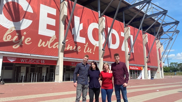
The application was developed during GIS classes in Tourism. The authors of the application are Daria Zdulska, Katarzyna Próżyńska, Adam Mroczek and Marek Szymala.
These types of applications using digital maps and spatial information are created during various classes of geoinformation field of study conducted at the Faculty of Geographical Sciences in cooperation with the Faculty of Mathematics and Computer Science at the University of Lodz.
Source: Faculty of Geographical Sciences of the University of Lodz
Edit: Promotion Centre of the University of Lodz

